“Benedicto: May your trails be crooked, winding,
lonesome, dangerous, leading to the most amazing view. May your
mountains rise into and above the clouds. May your rivers flow without
end, meandering through pastoral valleys tinkling with bells, past
temples and castles and poets towers into a dark primeval forest where
tigers belch and monkeys howl, through miasmal and mysterious swamps and
down into a desert of red rock, blue mesas, domes and pinnacles and
grottos of endless stone, and down again into a deep vast ancient
unknown chasm where bars of sunlight blaze on profiled cliffs, where
deer walk across the white sand beaches, where storms come and go as
lightning clangs upon the high crags, where something strange and more
beautiful and more full of wonder than your deepest dreams waits for
you -- beyond that next turning of the canyon walls.” -Edward Abbey
Kokopelli Trail: Loma, Colorado to Moab, Utah, May 23 - 25, 2014.
All geared up.
At Kokopelli's Trailhead, Loma, CO,
May 22, 5:00 p.m.
Surprisingly, none on this trip!
In the beginning...
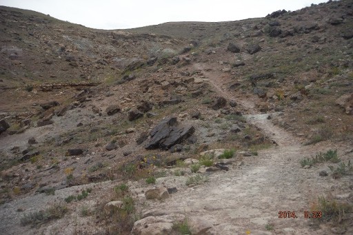
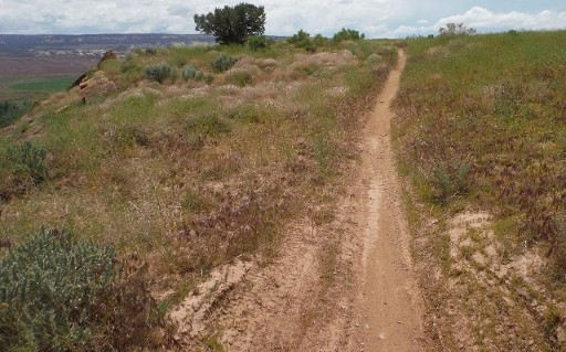
The first several miles of singletrack offer it all: climbs, descents, techie sections, flow, and the views, the views!
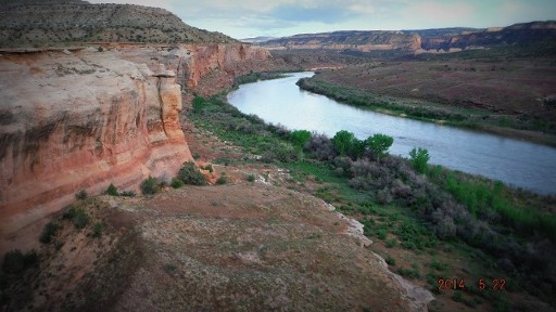
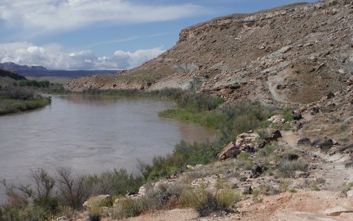
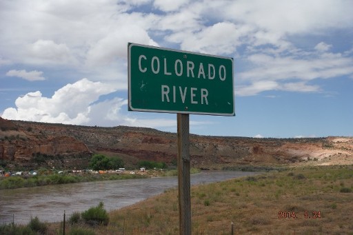
The Colorado River makes for quite a contrast with the world of rock above.
The loops in the first dozen miles offer up sweet singltrack temptation!
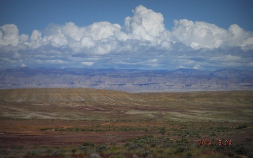
Morning 1. May 23, 2014.
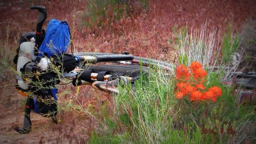
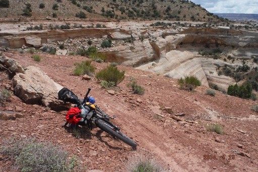
And up on the front handlebars, my sleeping bag, bivy sack, two water bottles, a snack sack, and GPS (what did we do without these awesome gadgets...read maps, I guess?).
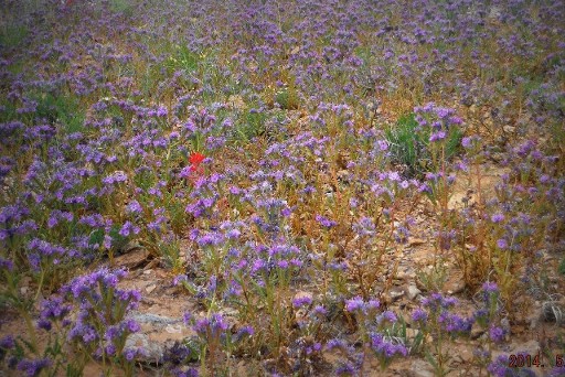
The wild flowers were welcoming the rain, and I was enjoying their lack of self-restraint (as were the honeybees, I am happy to report).
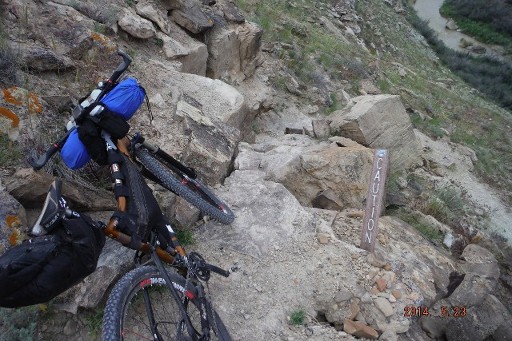
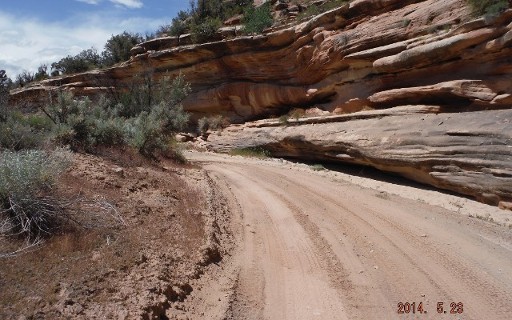
The Kokopelli descends abruptly down to Salt Creek, offering two options: Moderate, or Double Black Diamond.
Salt Creek, HERE I COME!!
Salt Creek provided my first water re-supply. That water was fast and COLD!
The climb up from Salt Creek and the Colorado River was a serious grunt that I hiked more than rode...
...but the wildflowers were there cheering me on every step of the way...
...and with every step, the views only grew larger until it seemed the landscape would just consume me.
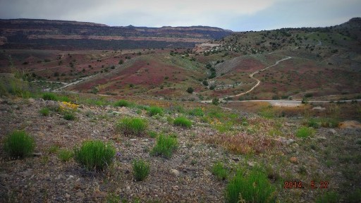
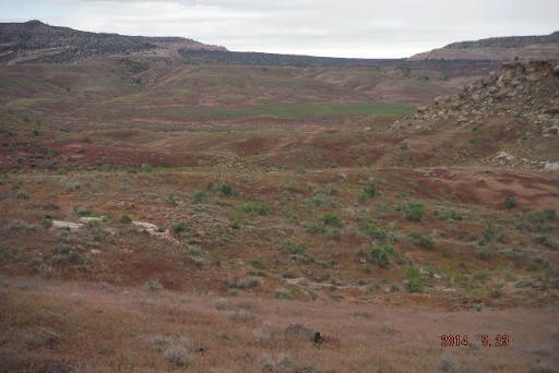
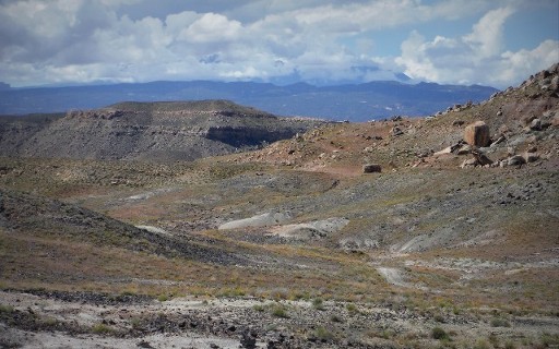
After a rain delay near the I-70 Rabbit Valley Road exit in Colorado (last exit before UT for y'all drivers), the skies began to clear, and I dropped into Rabbit Valley proper.
...into and through the McDonald Creek Cultural Resource Area...
...inspired by the landscapes that have held my heart captive since I first laid eyes on them, 21 years ago.
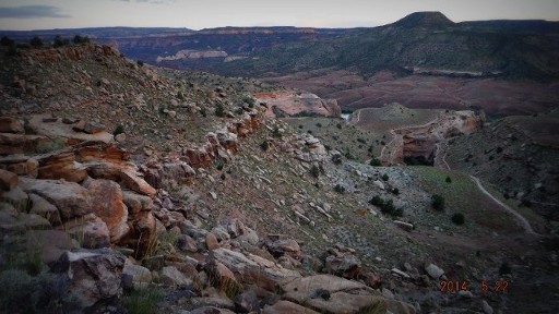
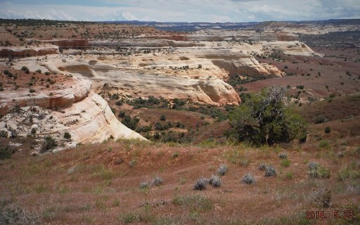
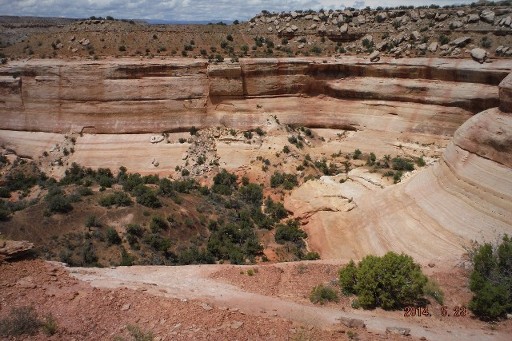
There comes an option of detouring from the Kokopelli Trail for several miles of slickrock riding and 500 foot cliffs...
...did someone say "slickrock?" I took the Western Rim detour...
Rewards in tech and in views at every turn for miles...
...and miles...
...and miles. I'll have to do the other route sometime, but THIS, the Western Rim, did NOT disappoint!
Some flow before a chunky descent to Westwater.
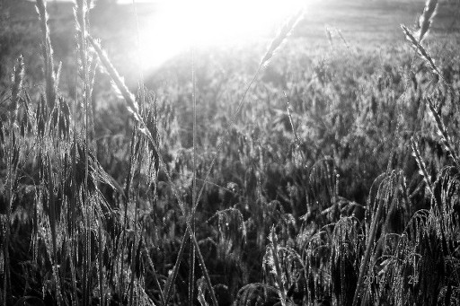
I took no pictures of the thunderstorms that overtook me west of Westwater. I have some video of me yelling into the camera above the roar of the storm, but too many lightning-induced F-bombs for proper folk. So these were raindrops on the grasses outside my bivy the following morning. It was very pretty, like a field of crystal-encrusted buckwheat. Beautiful.
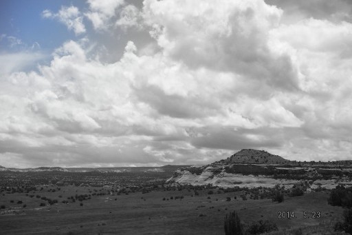
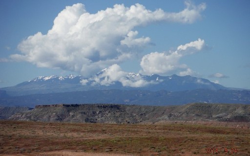
Because of yesterday's storms, THIS was my first glimpse of the Manti La Sal Mountains, that serve as the backdrop for Moab, UT. God, they're beautiful.
One last look back to where this all started a day and a few hours ago, 60 miles back there, somewhere.
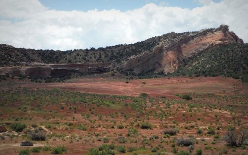
Upward and onward from Cisco Landing, through the Chinle Formation, while off in the distance, the La Sals are brewing this afternoon's crop of thunderstorms.
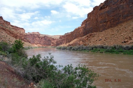
The Kokopelli between Cisco Landing and Dewey Bridge hugs the Colorado River, now at least twice the width as at Westwater. The trail through here is taunting...
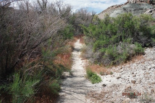
...and cuts a narrow swath through the willow and salt cedar.
The crossing at Dewey Bridge. This was a painful decision. I had enough food and now water for the coming night at 8K feet. I lacked dry gear, however. Reluctantly, I decided to save the La Sal portion of the Kokopelli for later this year.
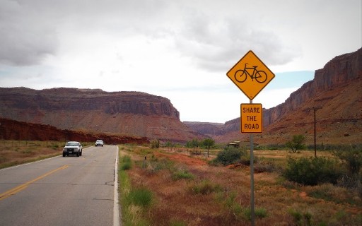
And so the remaining 28 miles were down Rt, 128, "River Road." Perhaps one of the most beautiful, intriguing stretches of pavement in North America.
With 17 miles to go, I was out of gas. Thankfully, Sorrel River Ranch was there with an endless beverage gun of Coke at the bar, and two steaming bowls of Elk Bolognese! Tom, you were a life-saver, and I am so glad you didn't begrudge me that second order of Elk!
I am bringing Mike to this place. Good god, what an incredible place. Sorrel River Ranch. Next time you're in Moab, show them some love. They welcomed this unshowered, unkempt bike riff-raff to sit, eat, and rest. GREAT folks, and unbelievable setting!!
On Rt. 128? They do.
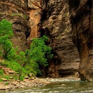
Navajo Sandstone cliffs above the Colorado River. Slick Rock Trail is up on top.